
How AI and Multispectral Imaging Are Transforming Agricultural Drone Monitoring
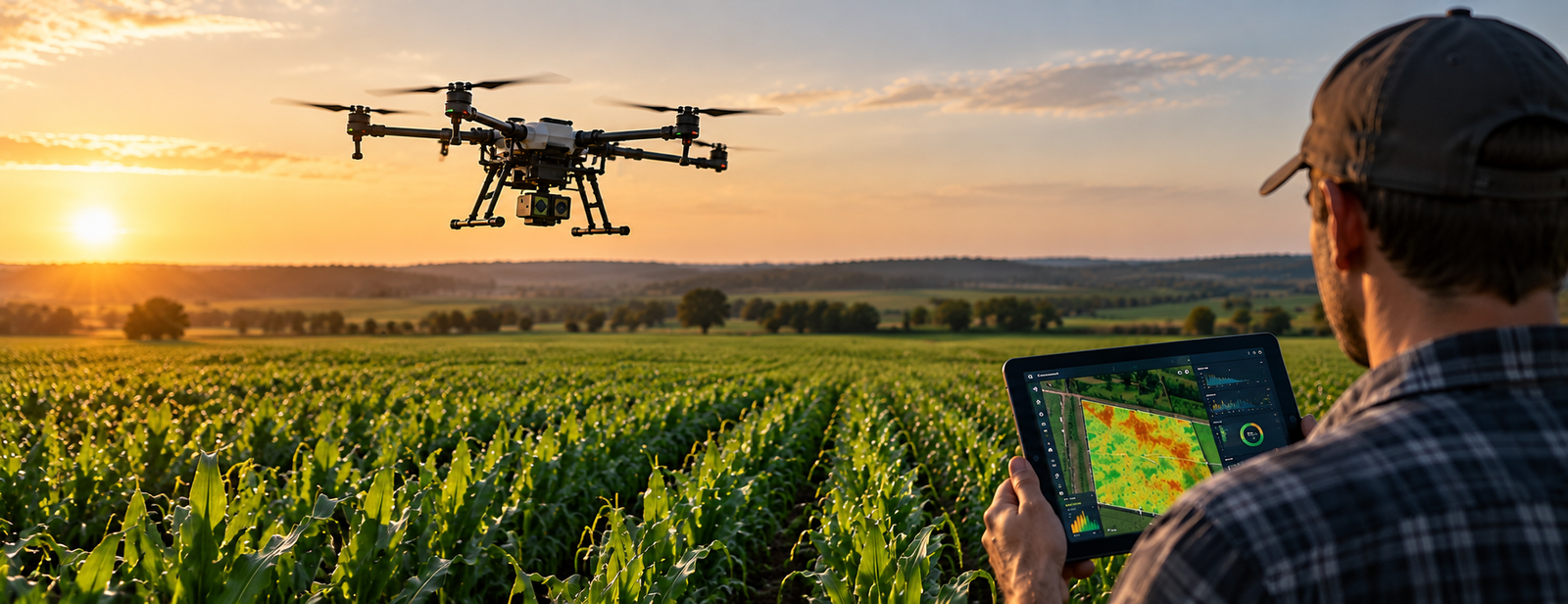
Artificial intelligence and advanced imaging technologies are expanding the role of agricultural drones, helping farmers monitor crop conditions, identify potential problems and make more informed decisions.
Agricultural drones are increasingly being used for more than aerial photography. Equipped with multispectral cameras, thermal sensors and AI-powered software, modern UAV systems can collect and analyse detailed field data, supporting more efficient crop monitoring and precision agriculture.
Beyond Traditional Crop Monitoring
Traditional field inspections can be time-consuming, particularly across large agricultural areas. Drone-based monitoring provides an additional way to assess crop conditions and identify areas that may require closer attention.
High-resolution RGB cameras capture detailed images of fields, while multispectral sensors record information across different wavelengths, including those beyond the visible spectrum.
This data can help agricultural operators detect variations in vegetation conditions, monitor crop development and identify potential signs of stress. However, additional field inspections may be necessary to determine the underlying causes of these variations.
How AI Improves Agricultural Data Analysis
Artificial intelligence is helping agricultural operators process large volumes of aerial imagery and identify patterns that may require further investigation.
AI-powered software can analyse aerial images, recognise patterns and highlight unusual changes in crop conditions. When combined with repeated drone surveys, these tools can help farmers:
- Identify potential crop stress: Detect areas showing unusual vegetation patterns.
- Monitor crop development: Track changes throughout the growing season.
- Prioritise field inspections: Focus attention on areas requiring closer assessment.
- Support crop management: Use additional field data to inform agricultural decisions.
These technologies complement agronomic expertise rather than replacing on-site inspections.
Connecting Drone Monitoring with Precision Agriculture
One of the most important developments is the growing integration of drone imagery with precision farming operations. Data collected through aerial monitoring can help identify areas requiring further investigation and support decisions related to irrigation, fertilisation and crop protection.
As imaging sensors and analytical software continue to improve, agricultural drones are becoming increasingly valuable tools for data-driven farming. The combination of AI, multispectral imaging and agricultural drones is helping transform crop monitoring from simple data collection into a more practical tool for precision agriculture.