
How Digital Tools Are Changing Farm Management
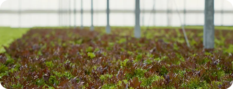
Digital technologies are becoming part of everyday farm management, helping agricultural businesses monitor crops, plan field operations and make better use of available resources.
Agricultural drones, satellite imagery and farm management software provide different types of information about field conditions. When used together, these tools can help farmers identify areas that need attention and make more informed decisions throughout the growing season.
From Field Monitoring to Better Decisions
Traditional field inspections remain essential, but they can be time-consuming, particularly when managing large or geographically dispersed agricultural areas.
Digital imaging technologies offer an additional way to assess crop conditions.
Drones equipped with RGB cameras capture detailed aerial photographs, while multispectral sensors measure reflected light across different wavelengths. This information can help identify variations in vegetation growth and highlight areas that may require closer examination.
Satellite imagery provides a broader perspective, allowing farmers to observe changes across larger areas over time.
However, aerial images do not always reveal the underlying cause of crop stress. Field inspections are still necessary to determine whether observed differences result from water shortages, nutrient deficiencies, pests or other factors.
Practical Applications of Agricultural Drones
Agricultural drones support several aspects of farm management, depending on their equipment and technical capabilities.
Their applications include:
- Crop Monitoring: Observing crop development and identifying areas with uneven growth or potential stress.
- Field Mapping: Creating detailed aerial maps to support agricultural planning and field assessments.
- Precision Spraying: Applying plant protection products in designated areas where permitted by applicable regulations.
- Field Inspections: Examining agricultural areas that may be difficult to access with conventional machinery.
- Data Collection: Gathering visual and multispectral information for further analysis and comparison.
These applications can complement traditional farming methods and provide additional information for managing agricultural operations.
Turning Agricultural Data into Action
Collecting field data is only the first step. Its practical value depends on how the information is interpreted and used.
For example, a drone equipped with a multispectral camera may identify differences in vegetation development across a field. By examining the resulting maps, a farmer can locate areas showing unusual patterns and inspect them directly.
If the inspection confirms a specific problem, the farmer can determine whether corrective action is necessary.
This approach helps direct attention to areas requiring investigation rather than relying exclusively on general observations.
Digital farm management platforms can also bring together field records, maps and operational information, making it easier to track activities and compare observations over time.
Choosing the Right Technology
Not every agricultural operation requires the same digital tools.
The suitability of drones, imaging systems and software depends on several factors, including farm size, crop type, operational requirements and available technical expertise.
For businesses considering agricultural drones, important considerations include flight capabilities, camera specifications, software compatibility and applicable operating regulations.
Selecting equipment that meets actual operational needs is essential to making effective use of agricultural technology.
Supporting Modern Agriculture
Digital tools are expanding the ways agricultural businesses collect information and manage field operations.
Agricultural drones and optical systems can provide valuable insights, particularly when their data is combined with practical field knowledge and appropriate farm management processes.